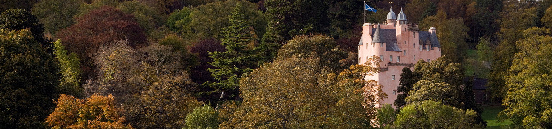
IN THE AREA
From a base at The Invergarry Aboyne it can give easy access to the wider north, north east and east of Scotland.
NORTH EAST is most easily accessed along the A93 towards Aberdeen where the city awaits along with the many large towns like lovely Stonehaven, the market town of Inverurie and the UK largest white fish port at Peterhead.
NORTH towards Inverness gives access to the Highlands, Loch Ness and Culloden Battlefield as well as the route through the Cairngorm National Park.This is also the route to Speyside and distillery country as well as Scotlands highest village at Tomintoul.
EAST over the Cairn o’ Mount gives access to the county of Angus with its lush farmland, fruit and flower fields, small towns like the Open Golf Championship town of Carnoustie and the city of discovery – Dundee.
SOUTH towards Braemar along the route of the river Dee and onwards to Blairgowrie to rural Perthshire through Glenshee and the beautiful countryside of the Cairngorm southern foothills.
TOURING & SIGHTSEEING
The road network to and from The Invergarry offers many picturesque opportunities from the
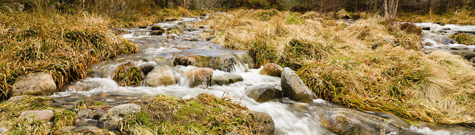
Cairn o Mount to the Falls of Feugh, from Glenbuchat to Linn of Dee and the magnificent Queens View to Scolty Hill. Beyond The Invergarry to the west lies the Cairngorm National Park which is easily accessible and breathtaking in its natural splendour. No matter the time of year or the weather conditions Royal Deeside and the Cairngorms have a spectacle around every corner.
TOWNS & VILLAGES
Touring in the local Royal Deeside area affords the opportunity to enjoy the beautiful land scape at all times of the year. Set within the natural landscape are a number of interesting small towns, villages and hamlets, each with its own charm and unique history. For interest we would highlight the following:
Aboyne, pop. c.3000 home to The Invergarry, lies on the A93 roadway, 26m (42km) west of Aberdeen, 59m (96km) north west of Dundee and mid-way between Ballater and Banchory. Located on the north bank of the river Dee, Aboyne was founded in 1671 by the first Earl of Aboyne and it expanded from a hamlet in 1828 with the building of a bridge across the Dee. The current bridge was built in 1930 but it was the arrival of the railway in 1859 which turned Aboyne into the inland resort that it is today. The Deeside Railway to Aboyne ceased in 1966, but its station, rebuilt on a grand scale in 1888, still survives and houses a range of shops and offices. As a result of the railway, a number of hotels were established including the prominently placed Huntly Arms Hotel opposite the centre of the village – Charleston Green. The village green is an unusual feature for a Scottish town and it give Aboyne a distinctive centre where most annual activities take place – Highland Games, bonfire night, etc. A golf club was established in Aboyne in 1883.
Banchory pop c. 7500 lies on the A93 roadway, 13m (21km) east of Aboyne. Located on the north bank of the river Dee, the original settlement lay towards the east end of today’s Banchory, where St Ternan established a church around AD 500. A series of churches followed on the same site but eventually a replacement was built further to the west around the north end of the bridge built over the River Dee in 1798. Today the old churchyard remains, complete with a two storey circular watch house designed to deter body-snatchers!
Banchory grew significantly through the 1800s and the railway reached the village in 1853. With it came an influx of hotels and other businesses. A stroll around Banchory reveals a fascinating mixture of shops which thrive in this Deeside atmosphere. Banchory is an attractive town and serves as the main centre for Royal Deeside.
Ballater pop c.1500 lies on the A93 roadway, 11m (18km) east of Aboyne. Located on the north bank of the river Dee, Ballater is a picturesque Victorian village originally founded at the start of the 19th century to accommodate visitors to the nearby Pannanich Wells spa which Deeside Water Co still use as their source for our local bottled water. Later, it became the site for the railway station that serviced nearby Balmoral Castle and upper Deeside. For about 100 years this station was used by the Royal Family and their guests and by thousands of holiday makers from Aberdeen and elsewhere coming to enjoy the delightful surroundings. The town grew steadily during the Victorian era and contains many fine stone-built buildings within its conservation area. Close by is also Royal Lochnagar Distillery which produces one of Scotland’s most exclusive whiskies. This planned agricultural town dates back to the 1800s.

Torphins pop c.1500 lies in a valley to the north east of Aboyne and is surrounded by rolling hills and rich farmland. It was a small settlement until the arrival of the railway in the mid 19th century. In 1898, Joseph Walker opened his first bakery in the village – more than one hundred years later Walkers Shortbread is a household name and the original bakery building in Bridge Crescent still stands.
Lumphanan pop c.550 lies in a valley to the north east of Aboyne and is surrounded by rolling hills and rich farmland. Although a church was established in Lumphanan around 1400 years ago and a monastic settlement continued on the same site, the village was predominantly built in the late 19th century. However, history surrounds the Lumphanan area and a fierce battle took place in 1056 which saw Macbeth, the King of Scotland, mortally wounded. Macbeth’s Stone and Macbeth’s Well are features in the village. A motte and Baillie castle known as “The Peel Ring” was built near St Finan’s Church around 1200. With the arrival of the railway in 1859 and the building of the station to the east of St Finans, a new Victorian railway village was established.
Tarland pop c.550 lies in the Cromar and Douneside valley to the north of Aboyne and is surrounded by rolling hills and rich farmland. The village and surrounding area has many historical connections including the Culsh Earth House, an Iron Age below-ground dwelling otherwise known as a Souterrain. Souterrains were used to store food and the Culsh Earth House probably served as a community cellar. Just south of Tarland is the Tomnaverie Stone Circle, a 4000-year-old recumbent stone circle.
Kincardine O’Neil lies on the A93 roadway, between Aboyne and Banchory. Located on the north bank of the river Dee, Kincardine O’Neil was for centuries one of the most important river crossing places being on the ancient route over the Cairn O’Mount. King David 1 of Scotland crossed the Dee with his army in 1150, then in 1296, the 35,000 strong army of Edward 1 of England crossed the river and camped near the village, consuming the villager’s entire year’s supplies of food and drink in a single day! In more peaceful times the ford was the most direct drove route for cattle moving from northern Aberdeenshire to the markets at Crieff and Falkirk. Towards the eastern edge of the village is the historic ruin of the Church of St Mary, built in the 1200s and in use until the 1860s. The Deeside Railway never made it to Kincardine O’Neil and the result was that while the surrounding villages developed and became larger, Kincardine O’Neil stayed smaller and retained many original older buildings being designated as a Conservation Area in 1978.
Dinnet lies on the A93 roadway halfway between Aboyne and Ballater. Dinnet occupies one of the most picturesque areas of Royal Deeside. Backing onto the river Dee, in the shadow of the hills of Morven and Culblean, the overall area is known as the ‘Muir of Dinnet’ and is a National Nature Reserve with many interesting historical features.
Finzean & Ballogie are on the B976 roadway to the south east of Aboyne and south of the river Dee. Finzean and Ballogie are two small villages surrounded by large estates of the same name situated on the South Deeside Road. Ballogie is home to the oldest bridge – Potarch Bridge – on Deeside and the nearby Potarch Inn is home to the famous Dinnie Stones. The stones weighing a total of 785lbs were carried by Donald Dinnie the “first sporting super-star” in 1860.
Finzean is the subject of many well-known landscape paintings by the Victorian artist Joseph Farquharson, whose family have owned Finzean Estate since the 17th century. Both estates pride themselves on being tourism destinations for outdoor activities from fishing and shooting, to horse-riding and biking. Finzean and Ballogie are joined by the Deeside Way.